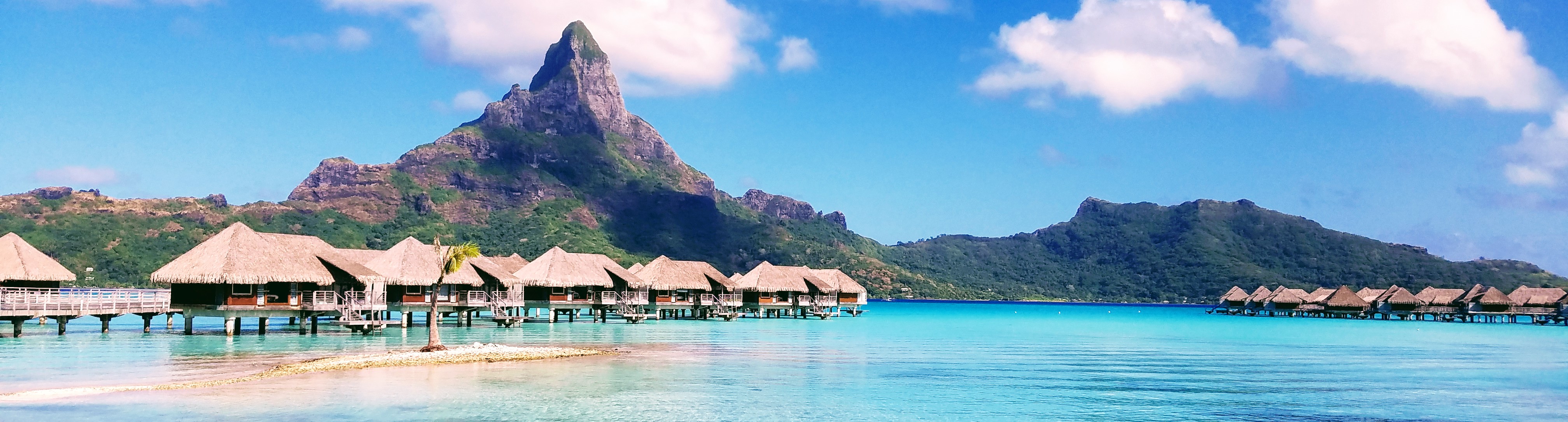

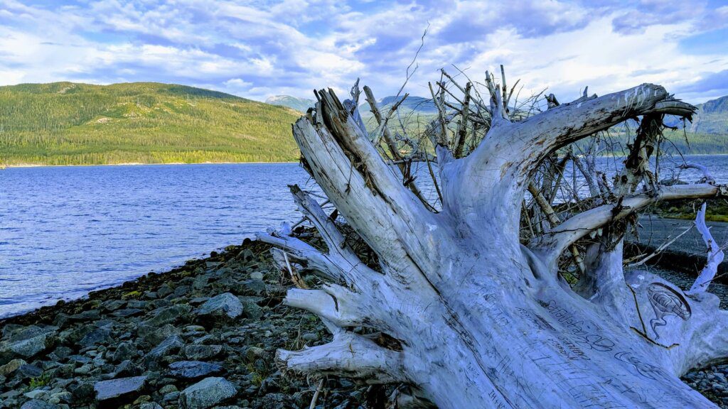
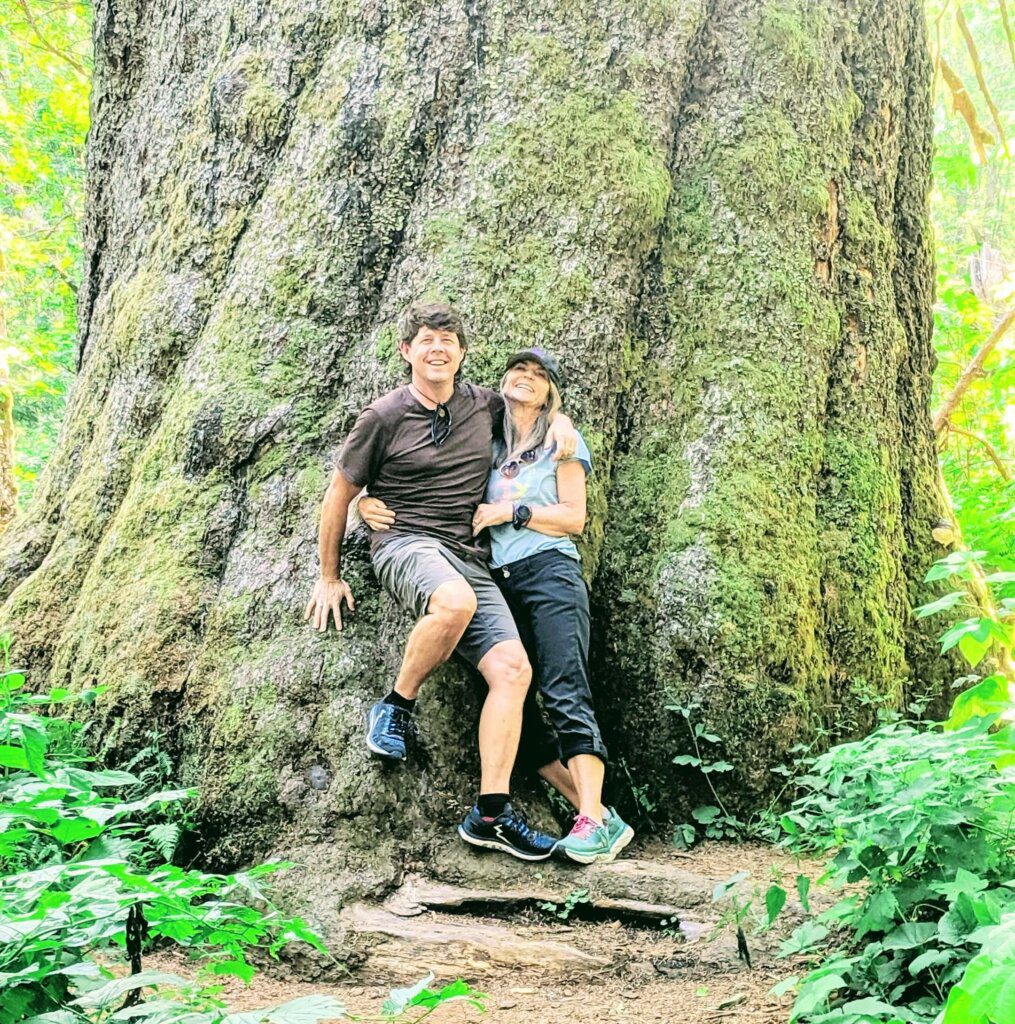
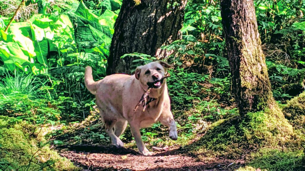
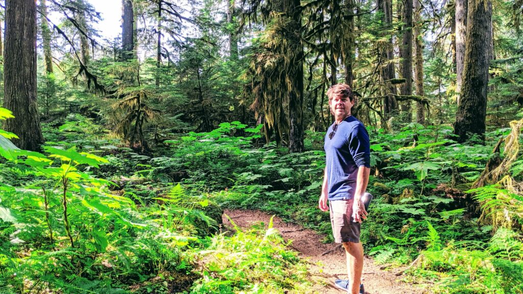
The raw and natural beauty of British Columbia is difficult to match. These are pristine lands touched by very few people. And British Columbia hikes, are some of the most beautiful in the world!
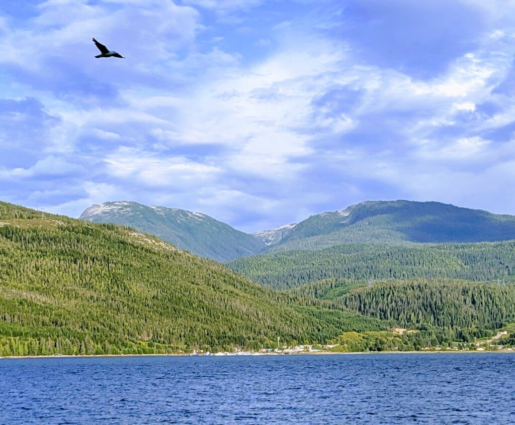
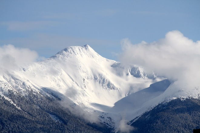
As for Northern British Columbia, it’s resplendence is unparalleled. Extending up to the Yukon/Alaska Border it is larger in size than California. Yet it’s tiny population is less than 5 million. If you are interested in sweeping glaciated valleys, volcanic rock formations, towering mountain ranges, rivers, a mist shrouded coast and trails taking you to all of the above, then hiking in Kitimat is a must. Read on to find out about the outdoor adventures Kitimat has to offer.
Getting There – Kitimat Hiking Trails
Coming back to Kitimat was an adventure in itself. A tiny plane from Vancouver took us the 654 km north to a small town called Terrace. We rented a car (which was a small fortune) and drove the remaining 62 km on 37 South. We passed lush forests, lakes and many service roads leading to double track and single track trails. There are other ways to get to Kitimat.
Driving from Vancouver the 1425 km will take you over 14 hours without stopping. If you have time, we recommend driving and exploring all that beautiful British Columbia has to offer.
Taking the train is another option to get to these amazing Kitimat hiking trails.
History of Kitimat
Prior to 1950, Kitimat was a small First Nations fishing village nestled in the majestic valley at the head of the Douglas Channel which is a deep water fjord. The First Nations people have inhabited this area of the coast for as long as 8,000 to 12,000 years.
Drawing its name from the nearby Haisla community of Kitamaat, and meaning people of the snow, Kitimat is both an inland and a coastal settlement, in that the sportfishing and outdoor enthusiast haven sits on an arm of the Pacific Ocean that reaches 140 km inland, cutting deep into the Coast Mountains.
In 1950 the city known today as Kitimat was created to support the newly built (and largest in the world) aluminum smelter. Since that time the pulp and paper mill came and went. And now the LNG pipeline has increased the population It is a blue collar town, built to support the plants and it’s workers.
Kitimat Travel Guide – Where to Stay and Eat
Given this history, Kitimat is not the trendy outdoorsy destination town. It is pretty run down with very few hotels. Most of which are expensive and fully booked. This is due to the large influx of transient workers needing a place to stay for short periods of time. However we stayed in a fantastic little Airbnb just a km from the small city center.
Which leads me to food. There are only a few restaurants in town. My only vegan options were two places. Lucky for me one was one of the best meals that I have ever had. It was a Buddha Bowl from the Taco Chicks Truck (owned by our Airbnb host). Seriously, amazing organic fresh food. The other option (and much less tasty than the Buddha Bowl) was the Beyond Burger from the A&W.
Know Before you Go
- Never hike alone
- Always let someone responsible know before you hike. Let them know where you are going and when. Always let them know when you are off the trail.
- Bring a map, compass, food and emergency gear.
- Be prepared to spend the night if things go wrong.
- Weather can change very quickly especially at altitude.
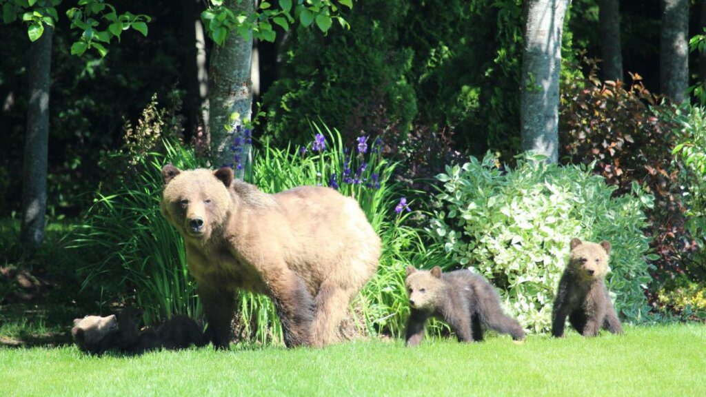
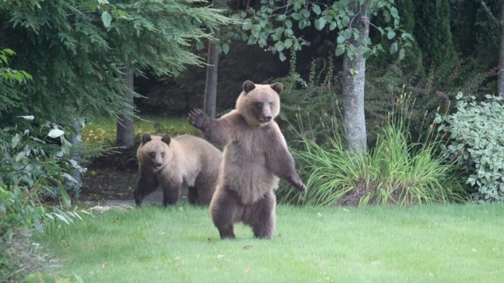
- Bears – every bear encounter is unique. If you encounter a bear try to stay calm. Face the bear without making eye contact and back away slowly. Take the same route out that you took in. Try to keep track of the bear’s location, again without challenging the bear – no eye contact. If the bear starts to make snorting or blowing noises and then charges at you veering off at the last second then the bear is exhibiting defensive behavior and you should continue to back away slowly. Extend your hands above your head making yourself as big as possible. Speak in a gruff voice.
- Black Bear: If the attack escalates and a black bear physically contacts you, fight back with anything that is available to you. Black bears tend to be more
timid than grizzlies and fighting back may scare the bear off. In addition,
if a bear is stalking you, then you are in a predatory situation and fighting
back is your only option. This also applies to any attack at night as these
may also be considered predatory in nature. - Grizzly Bear: If you believe the bear to be stalking you, fight back with everything you have. In general though, playing dead in a daytime grizzly encounter tends to reduce the level of injury sustained by most attack victims. Many grizzly attacks are defensive in nature, and playing dead may show the
bear that you are not a threat. Keep your backpack on as it will provide
added protection. The best position is to lie on your side in a fetal position.
Bring your legs up to your chest and bury your head into your legs. Wrap
your arms around your legs and hold on tight. Do not play dead until the
last moment. Staying on your feet may allow you to dodge an attack.
- Black Bear: If the attack escalates and a black bear physically contacts you, fight back with anything that is available to you. Black bears tend to be more
- Logging Roads – most of the logging roads are active which means that you will encounter large trucks along the route. Logging trucks have the right of way.
- Keep to the designated trails. Cutting switch backs damages plants and soils which keep rain and snow melt from eroding the trail.
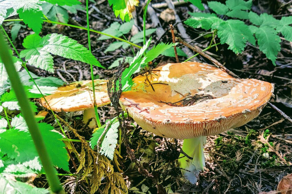
- Take only photographs and leave only footprints.
Hiking Trails in Kitimat
At this point you are probably thinking, “way to sell the place. Why bother going?” Well, let me tell you, the biggest reason to go to Kitimat is the stunning pristine nature which has some of the most beautiful hiking trails in the world. Below are some of our favorites, although there are many more!
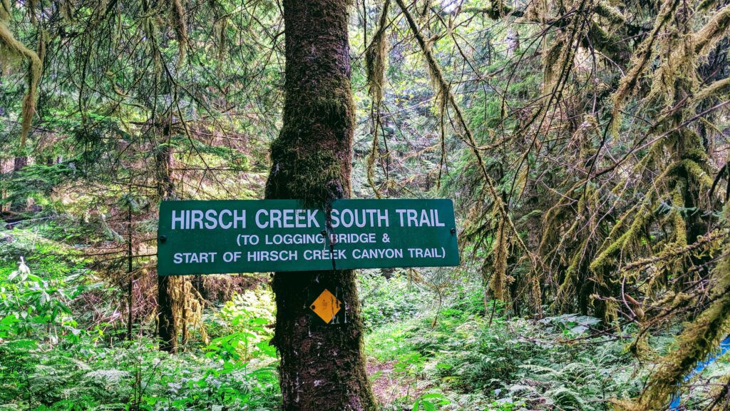
Hirsch Creek Combination Trail
Rating: Easy Time: 2 hours return (if turn around point is Jumping Bridge). 3 hours (if turn around point is Hwy 37)
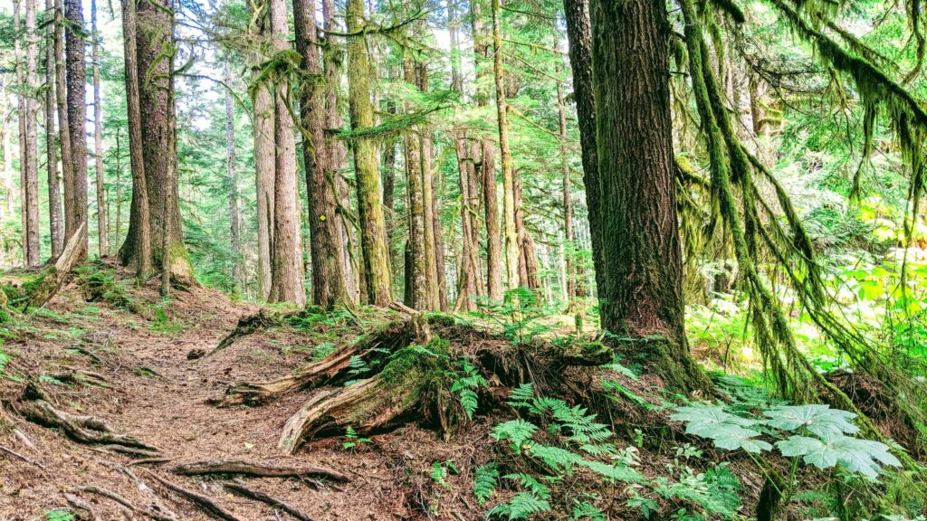
Starting in the suburban part of Kitimat on Smith Street (there is plenty of parking) the Smith Street Trail begins (#4 on the map). The trail head is at the end of the big field. You will follow a beautiful single track trail to a fork. Going left is the Coho Flats trail connector. To continue on our Hirsch Creek Combination Trail, you will go right. You will cross a foot bridge made out of a huge tree and continue on mossy trails filled with beautiful plants and wild life.
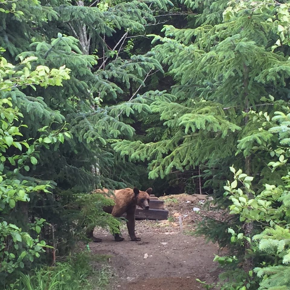
Continuing, the trail starts to follow the south Hirsch Creek and is aptly named that at this point. Beware that this is a grizzly hangout. Our friend’s house backs up onto the trail and he and his neighbors have taken many pictures of the bears there.
After another 30 minutes or so the trail will lead out to a forest road. At this point go left.
Soon you will reach a wooden bridge called the “Hirsch Creek Jumping Bridge”. This is a famous teen hangout during hot Kitimat summers. The bridge is about 40 feet above the water (depending on time of year). Almost 30 years ago, I too jumped off this bridge. Unfortunately ending up in ER as my “entry” was not as perfect as it needed to be.
Crossing the bridge, the North Hirsch Creek Trail continues on the left. It is a pretty trail until it comes up on Highway 37. You can either turn around at that point or continue to the parking lot (if you have a second car there).
Hirsch Creek Canyon Trail
Rating: Moderate Time: 4 hours one way (8 km)
There are 2 ways to get to this trail. One way is to follow the directions for the Hirsch Creek Combination Trail (above). Prior to arriving at the “Jumping Bridge” there will be a trail on the right. This is trail number 3 on this map.
The second way is to drive towards Terrace on Haisla Blvd, making a RIGHT at the Information Center onto Forest Ave. Drive about 1.5 km until you see a Y in the road. Make a LEFT. You will continue for a few kilometers. There have been some rock slides on these roads due to the pipeline being built. Drive as far as you can and park on the side. Walking the rest of the way, you will see the trail for Hirsch Creek Canyon on the right before the “Jumping Bridge”
The first 7 km are mostly uphill. The first stop is at 1.5 km at a large rock which offers a fantastic view of the river and the trail above. Continuing up, you are rewarded by a beautiful view of Kitimat. The second stop is at about 2.2 km. On the left you will have a view of the 250 foot canyon and all it’s beauty. Crossing the river there is a small picnic area.
Robinson Lake Trail
Rating: Moderately Difficult Time: 5-7 hours return 7.7 km
To get there, follow Hwy 37, turn south and follow Kitamaat Village Rd for 2.3 km. After crossing Cordella Creek Bridge turn left into the gravel pit. Head up to the right following the road for 0.7 km to the trailhead.
This is a moderate 4 km trail (one way) which passes a series of lovely small lakes until it reaches Robinson Lake. Please note that the trail may be very wet for the last 1.5 kilometers.
Robinson Ridge Trail
Rating: Difficult to Advanced Time: 4-6 hours return
From the Kitimat Chamber of Commerce located on Hwy 37, head east towards Forest Avenue and the South Hirsch Forestry Rd for about 7.5 km. Turn right onto branch 100 (Wathl Main) and go another 4 km to the trailhead which is on the left of the forest road.
This 3 km trail climbs steeply up the west side of the ridge into the sub-alpine. The trail continues south along the ridge to a cabin. There is a registry that you can sign if you wish.
Clague Trail
Rating: Advanced Time: 8-10 hours return
From Kitimat Lodge continue west on Haisla Blvd. After crossing the river, turn right onto Enterprise Ave and continue as it turns into 9 St. Continue until you reach the Wedeene Forest Service Road. Continue north along the road for another 1 km. Turn left and follow the side road for another 2 km to the trailhead.
This difficult 6 km trail that leads to alpine on the west side of the Kitimat Valley offers stunning views of the city and the Douglas Channel.
Mount Elizabeth Trail
Rating: Advanced Time: 10-12 hours return
Lookout – 2 – 2.5 hours one way Little Elizabeth – 4.5 – 5.5 hours one way
Drive north from the Kitimat Chamber of Commerce located on Hwy 37 for approximately 7.5 km. Turn right just south from where the BC hydro transmission lines cross the highway and follow the North Hirsch Mainline for 13.5 km. Turn left off the North Hirsch Mainline onto a narrow 4WD road. Continue up the road for another 2.5 km to the trailhead.
This is a very difficult 6 km trail to alpine offering stunning views of the Kitimat Valley and the Douglas Channel. Allow 3-4 hours to reach alpine. Once in alpine, Mt. Elizabeth peak is almost due east.
Wrap Up- Kitimat Travel Guide
Northern British Columbia is one of the most beautiful and pristine examples of what mother nature has to offer. Stunning alpine forests, volcanic rock formations, glaciers and towering mountain ranges all doted with stunning rivers and gorgeous lakes. With all this beauty, hiking in Kitimat has been one of our favorite activities there. And it is easy to understand why!
We have been privileged to have hiked in many places in the world including gorgeous Eua Tonga. However, this is very different from hiking in Kitimat or even British Columbia hikes overall.
Have you been to northern British Columbia? What did you enjoy most? Drop us a line and let us know. If you have any questions about Hiking in Kitimat, please let us know. We would love to help you plan your hiking in Kitimat.